Our Team
Our team brings together experienced UAV professionals, geospatial analysts, and environmental specialists dedicated to transforming aerial data into meaningful insights. Through innovation, technical expertise, and field experience, we support clients in monitoring ecosystems, managing resources, and developing sustainable solutions.
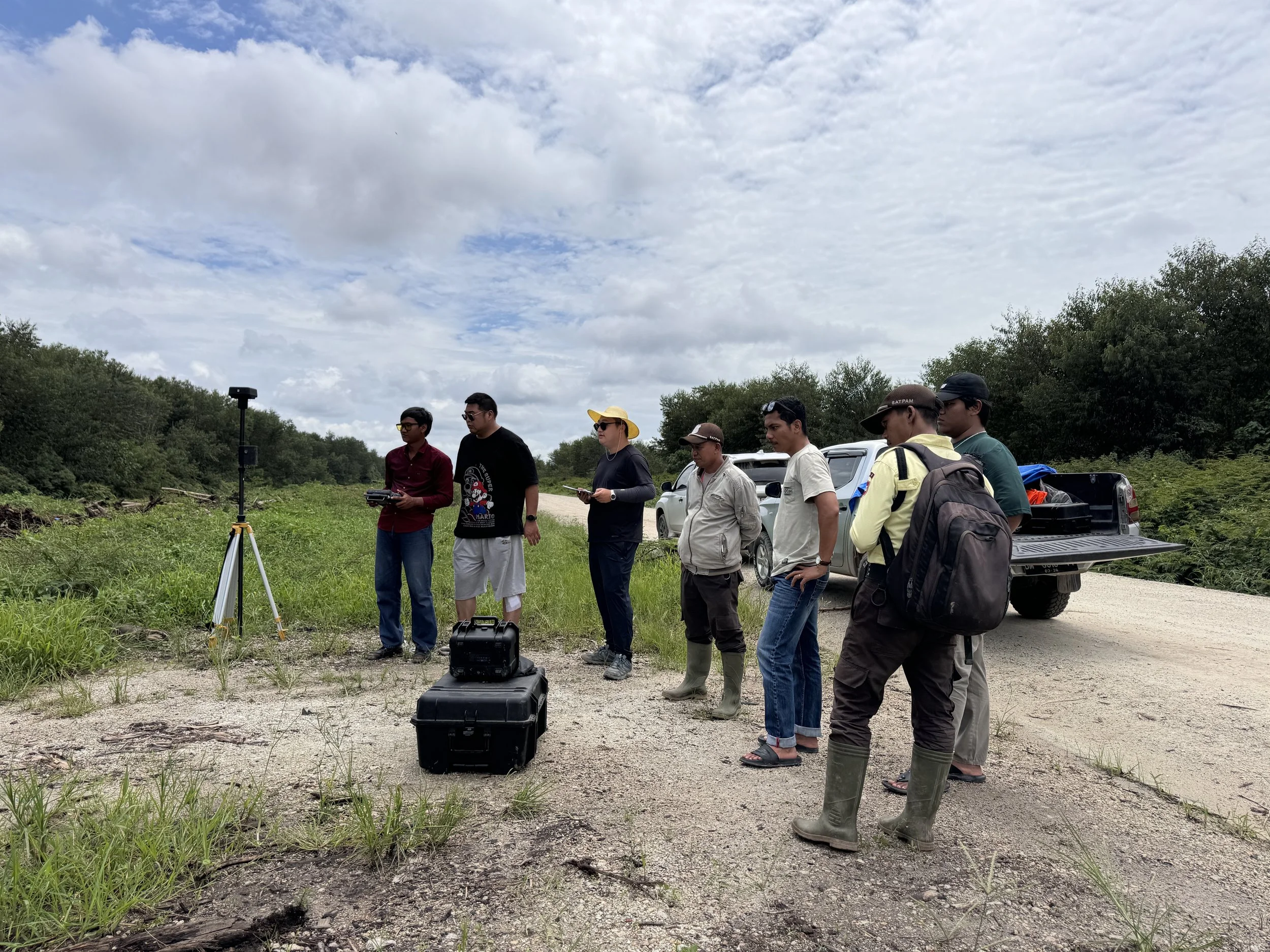
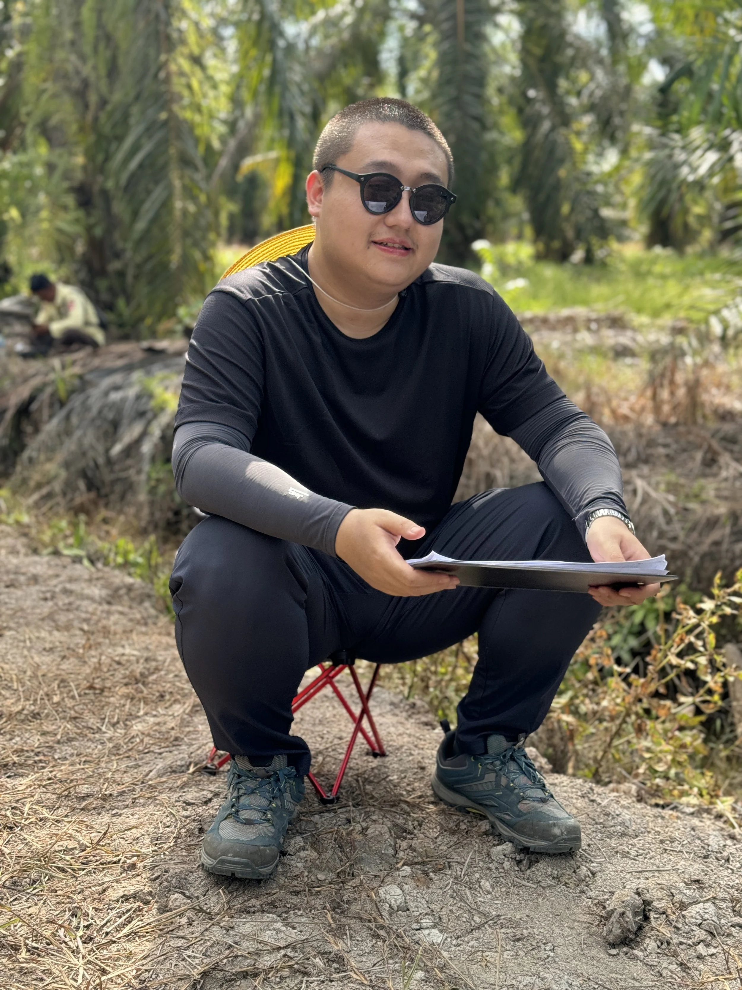
Shan Gao is a GIS and Remote Sensing Analyst specializing in UAV LiDAR, satellite remote sensing, and geospatial analysis for carbon management and environmental monitoring. His work focuses on integrating aerial and satellite data to estimate ecosystem carbon stocks, monitor land-use changes, and support nature-based climate solutions across forest, wetland, and coastal ecosystems.
Shan Gao
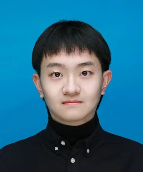
M. Lukman Hakim is a professional UAV pilot with over six years of experience in drone operations, aerial surveying, and field data acquisition. As a licensed drone pilot authorized by Jakarta Air Force Headquarters, he specializes in safe and compliant UAV missions across forestry, agriculture, mining, infrastructure, and environmental projects. His expertise in drone operation and technical support ensures reliable aerial data collection for geospatial applications.
M. Lukman Hakim
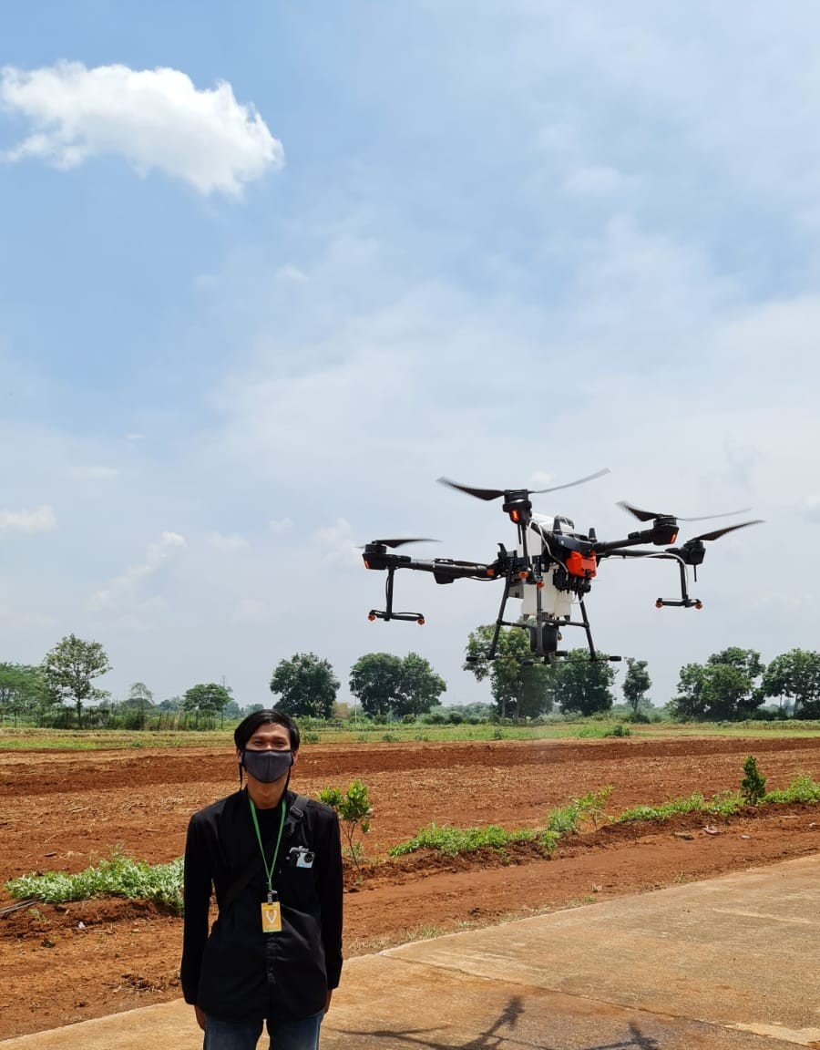
Fangyuan Zheng is an GIS Engineer specializing in carbon project development, ecological assessment, and GIS-based environmental analysis. He holds a master's degree in Landscape Architecture from the University of Edinburgh and has experience supporting CCER, VCS-REDD, and VCS-ARR carbon projects. His expertise combines remote sensing, spatial modeling, and ecosystem analysis to support nature-based climate solutions.